 |
| Çorum | |||
 |
|
||
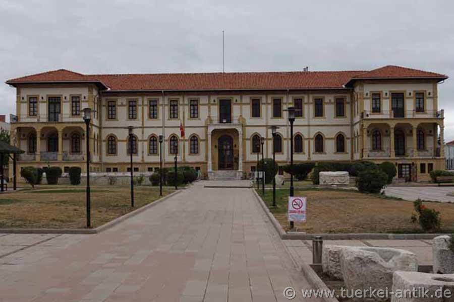
| Archaeological Museum Çorum | |||
|
The first human settlements were established in the Çorum area between 5000 and 3000 BC. The region was technically and culturally highly developed due to the nearby large deposits of raw materials. Excavations in Alacahöyük, Balımsultan köyü, Büyük Güllücek, Boğazkale, Eskiyapar, Hüseyindede and Kuşsaray prove this. In the time from approx. 1950-1850 B.C. trade colonies of the Assyrians existed in this area. From about 1650 to 1200 B.C. the Hittites ruled here. In the later centuries Çorum shared the history of Cappadocia. Thus, the Phrygians, Persians, Macedonians, Romans, Byzantines and other peoples ruled here. After the Battle of Manzikert in 1071 (the Byzantine Emperor Romanos IV Diogenes was defeated by the Turkish Seljuk under Alp Arslan on 26 August 1071) the Seljuk Turks conquered the region and made it part of the Beylik of the Danischmenden.
After the foundation of Turkey in 1923, Çorum became the provincial capital. The name "Çorum" is of Armenian origin and can be found in Ottoman documents since the 16th century. |
|||
 |
|||
| Çorum Kalesi | |||
|
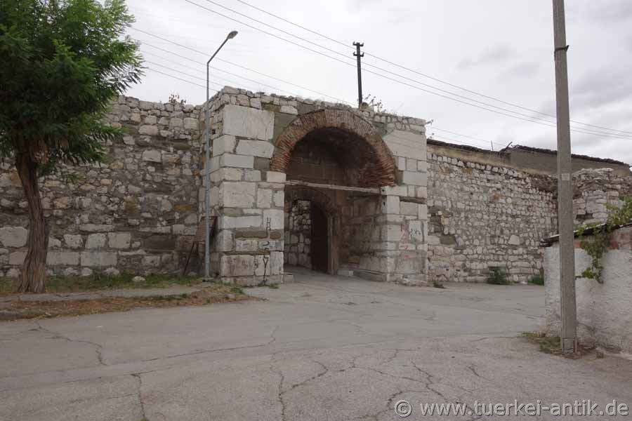
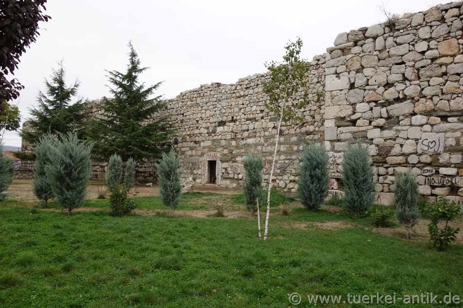
Today the citadel of Çorum is located in the centre of the Turkish provincial capital Çorum. The fortress is almost square with a side length of about 90 meters. All four corners are fixed with a round tower, up to eight meters high curtain walls, (straight wall between two bastions) between each two rectangular bastions. |
|||
|
|
|||
|
The lower part of the masonry, which has been renovated several times, consists of large limestone blocks, between which there are numerous spolia, including column drums and gravestones with decorations and inscriptions. The British explorer William Francis Ainsworth, who visited the site in 1838, described the building as a "modern building constructed of ancient materials". |
|||
|
|
|||
|
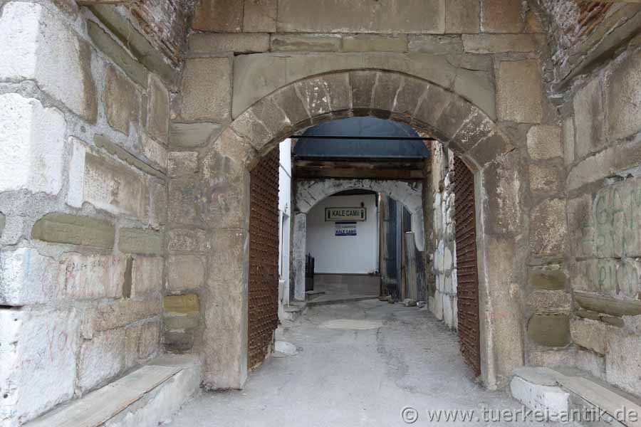
The entrance is on the north side. |
|||
| Photos: @chim, Monika P. | |||
| Translation aid: www.DeepL.com/Translator | |||
| Source: Wikipedia and others | |||
|
|
|||


